This stage brings me up to 98.85 miles; almost a hundred miles under my belt this summer!
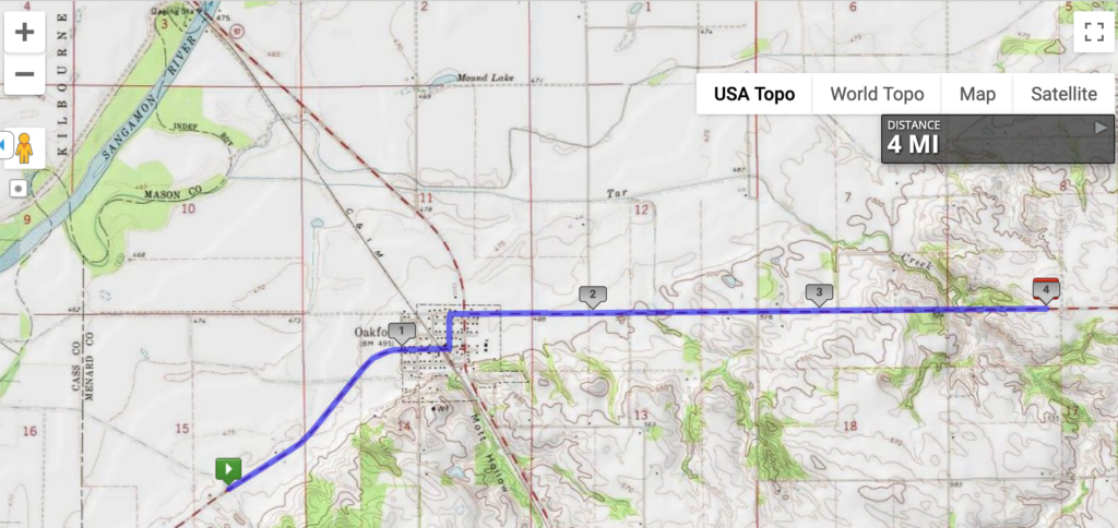
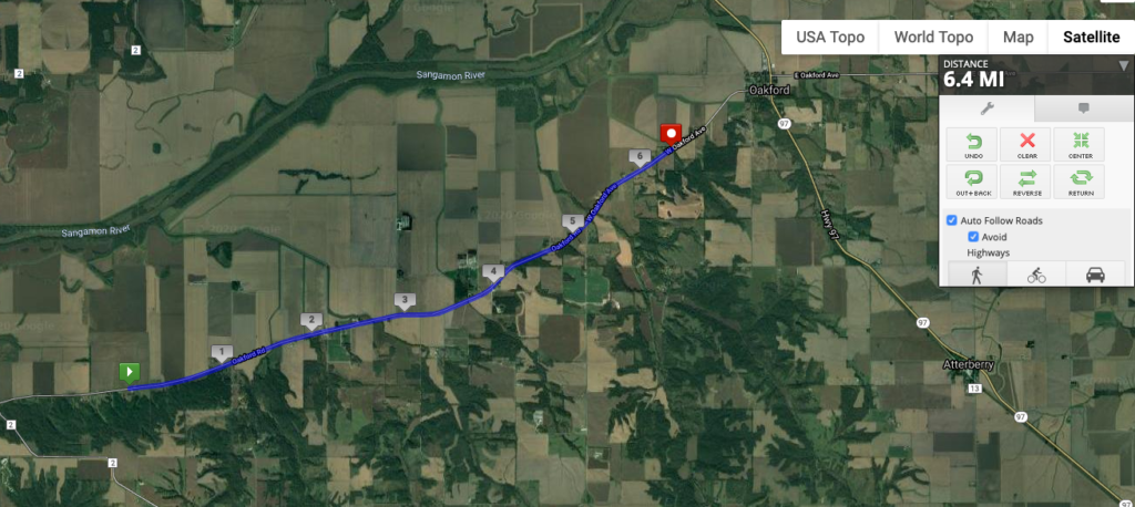
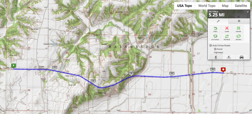
Today’s four miles involve the most serious altitude increase so far: 100 feet over 4 miles. (I know, right?) The topographic map below shows another kind of evidence for the unnatural form of the Sangamon River in the northwest corner: the county border between Menard and Mason Counties follows the original course of the Sangamon before it was channelized.
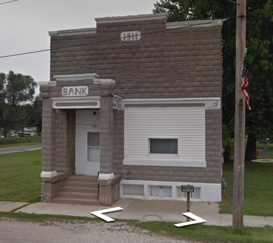
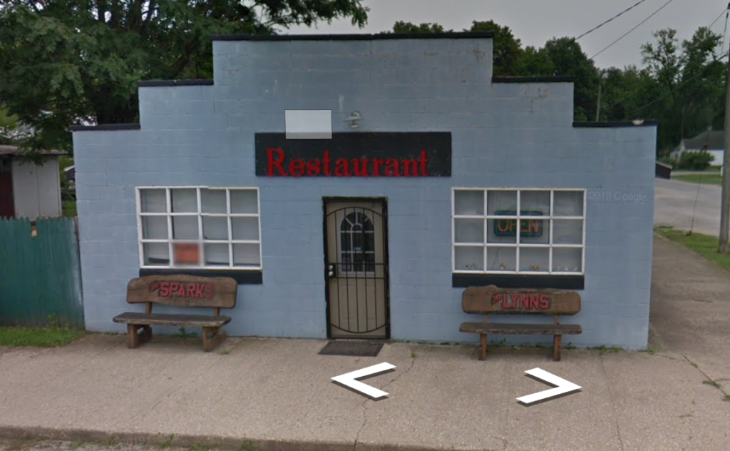
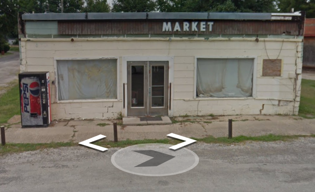
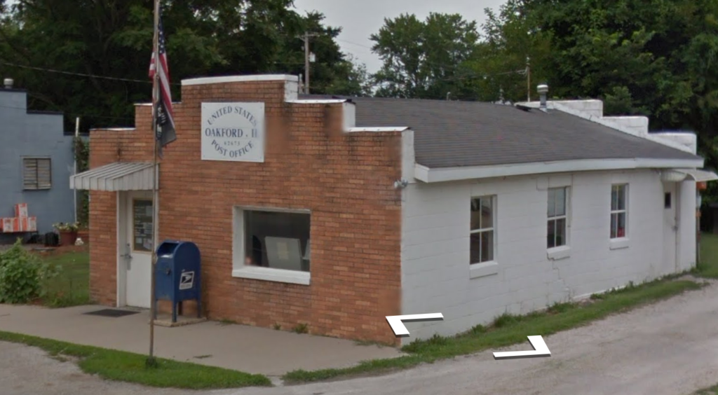
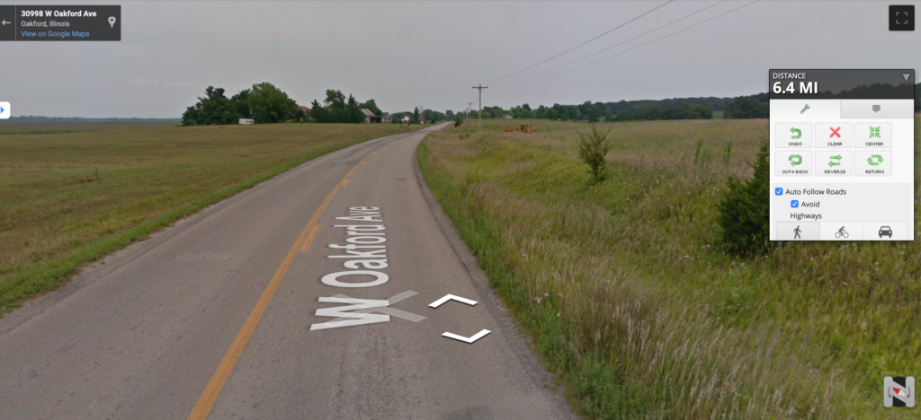
The town of Oakford with population 300 is on the Illinois & Midland Railroad, which carried coal from the southern Illinois coal fields to the Illinois River to be shipped by barge to coal-fired power plants around Chicago. Based on the pics below, they prefer simple names for their commercial establishments in Oakford. Also, I love the tiny false front on the Oakwood post office.
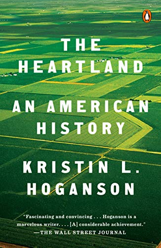
I’ve been trying to start my new book project on the Kankakee-Des Plaines confluence, and when I was telling someone on campus about it, they asked if I’d read this book. My description of my project as being about the different layers of transportation and flow that have swept through this one particular Midwestern place made them think of Hoganson’s book on how the Midwest has always been global. Finally, I sat down to read it.
Kristin Hoganson is a history professor on our campus, and her main argument is that the “Heartland” myth of an interior, protected space within the North American continent that is isolated and unchanging belies that this has long been a lively, vibrant space intertwined with the wider world in many important ways. She notes that the “Heartland” moniker only came about during WWII, even though it relies on an understanding of this place as timeless and central to U.S. identity. She argues that it has actually been a dual borderland, both between east and west as the frontier of white settlement, and between north and south due to agricultural flows between Mexico, the U.S., and Canada.
I learned a lot about the place where I live from this book, because Hoganson bases her work on Champaign-Urbana. For example, I had no idea that this used to be a major center for raising cattle and hogs; we think of the corn-and-soybean landscape as having always been here, but in the late 1800s, cows and pigs were driven here from points further south and then fattened before final delivery to the stockyards, thanks to the Illinois Central. Beyond agriculture, the chapter on airspace discusses “flyover country,” wired and wireless communications, weather forecasting, early attempts to understand the ecology of birds, and early aviation and the development of Chanute Air Force Base.
I also had no idea that many of the Kickapoo people (some of the original inhabitants of this land) went to Mexico and their descendants remain there today. This was the best chapter of the book as far as I was concerned, arguing that “In affixing security to this particular place, the heartland myth has attached it to particular people, at the cost of detaching it from others.” The tension between the mobile lifestyle of the Kickapoo and the settled lifestyle of the settlers is well-known, especially in terms of its implication for the land, but Hoganson takes it farther by discussing the multiple times the Kickapoo were displaced, including across the Mexican border.
One reason for this specific choice of place, of course, is the ease of conducting research when you live near the archives you need. Hogan argues that since “no single place in the heartland could serve as a microcosm for such a vast and variegated whole,” “Champaign seems as good a starting point as any” (p. xxv). And the book is definitely based on this singular place, though it expands outwards as needed to incorporate Champaign County or east-central Illinois as a whole.
However…I’m not convinced. True, other cities in central Illinois are atypical in their own ways: Springfield as the state capital, Decatur as the headquarters (until recently) of ADM, Bloomington-Normal as the headquarters of State Farm Insurance, etc. But to use a city with a major research university to argue that it’s surprising how global this place actually is concerns me. And then, Hoganson undermines her entire argument about how the heartland isn’t that insular and isolated with the story of an international student who arrived on campus from India in 1906 and said, “The general outlook of the students…was extremely narrow and parochial in this Middle West University. There was nothing of the freedom of mind and spirit of adventure which is generally associated with Universities” (p. 186-7).
Now, Hoganson argues that this does not mean the heartland was isolated, since there was all of this international contact taking place. But it brings to mind life in 2020 in Champaign, where increasing numbers of international students moving to town mean we have more bubble tea shops and international grocery stores, but also suspicious locals complaining about foreign drivers and writing into the local paper about the need to test Chinese students for COVID-19. We are globally-connected here, but those very connections are seen as a threat by people who have a few generations’ history on this land. Hoganson addresses this to some extent when she discusses how hogs were prized for their origin if they were from Britain, but not if they were from Mexico. But I would argue that a place which comes into contact with distant places without really engaging with them, is, in fact, a place that is isolated and inward-looking.
At any rate, the book is very readable and provides an interesting model for the same kind of broad-ranging study on a specific place that I want to do myself, including the “archival traces” at the end of each chapter that highlight key quotations from the archives to illustrate points in the chapter. The writing style is straightforward and non-jargony (it’s from Penguin, after all), and there’s a ton of illustrations. I would get into more detail about the notion of “place” and the relationship to transportation and mobility, but then, I’m a geographer and not a historian!
Even though this stage is less forested than the last few, you can see where the Sangamon River floodplain ends so clearly: look at the patterns of the creeks that drain into it. They go from being the branched features in the southern half of the image to the straight, channelized lines across the floodplain. Again, that’s mainly to drain the land in the floodplain so it can be used for agriculture, with the result of course being that flooding is more severe in the Sangamon and downstream in the Illinois River.
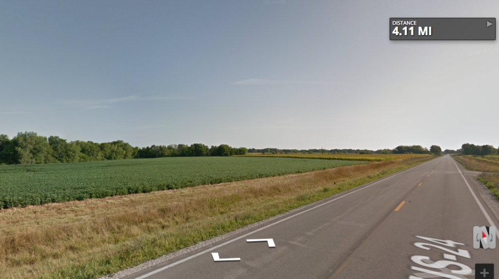
Here’s the view along the way: table-flat to the north, a little bit of a rise with some distant trees to the east.
This stage crossed into Menard County, my fourth county of the journey. Its website proclaims that the county seat of Petersburg has the county’s sole traffic light. Because of its proximity to Sangamon County (which it used to be part of), home of the state capital of Springfield, Menard is the first “metropolitan” county my route passes through. It is 97.5% white. It includes one of my favorite Illinois place names: Fancy Prairie.
The county was named for Pierre Menard, the first lieutenant governor of Illinois, who was added to the ticket to appeal to the Francophones who made up about half of the state’s population at its inception. Menard never lived in this county–the predominant white settlement here came from Germany–but in the Francophone region of the state south of St. Louis.
I’ve been running but not posting, so I have some catching up to do!
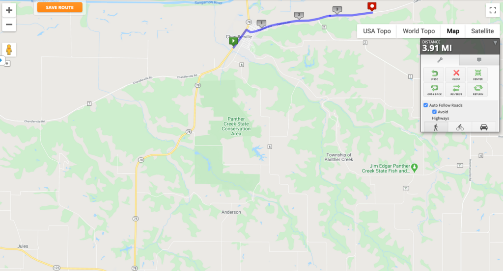
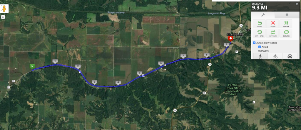
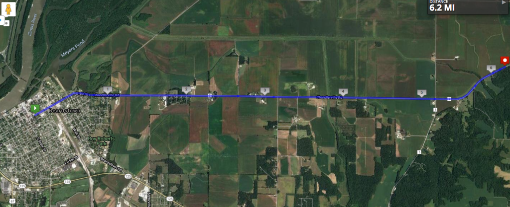
Stage 18 passed through Chandlerville and turned off the main road to take a more direct route east. I neglected to note in the last stage that I was passing north of a settlement called Jules, which is my aunt’s nickname for me, so shoutout to Jules. 🙂
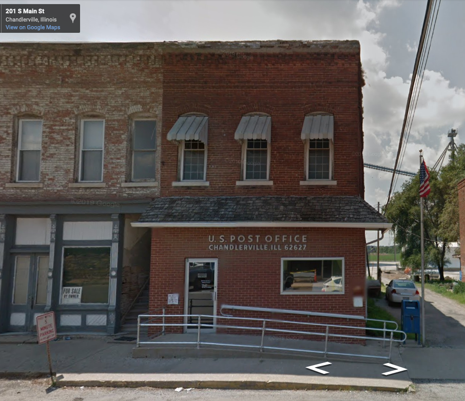
I could not find much to say about Chandlerville, except that it has an annual Burgoo. To my mind, that’s a Kentucky thing, but I’ve seen it argued that this part of Illinois is in the Upland South, so it makes sense. Burgoo is an event as much as a food: a huge pot of stew made with a wide variety of meats and vegetables, intended to feed a crowd. Here’s one recipe from Gun & Garden magazine. No one quite knows where the name came from, though it’s a good guess that it’s the Americanization of an original French term. Anyway, Chandlerville recently decided to cancel this summer’s Burgoo for the same reason pretty much everything is canceled this summer.
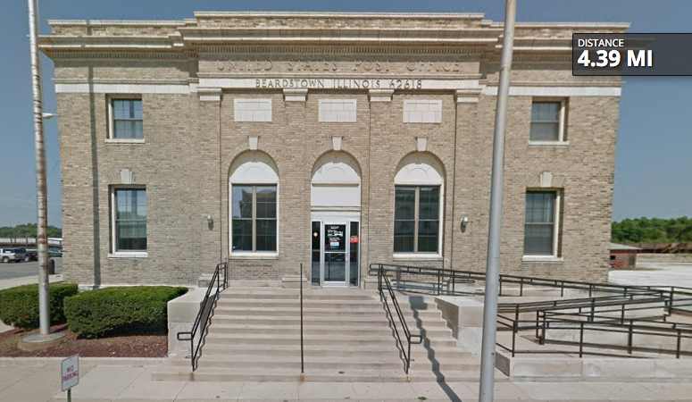
Chandlerville does still have a post office, but when the Google StreetView car drove through in 2013, literally the only establishment that was open in the two-block downtown was the post office. Here’s hoping things have gotten better for them since then.
Combining stages again, one of 5K and one of 10K, since the scenery doesn’t change much along the way! These stages are along the very edge of the Sangamon River Valley, pretty clearly delineated in the terrain. Given the width of the floodplain, do you see anything…unusual about the Sangamon River?
Stages 16 and 17 along the floodplain’s edge. Super flat.
In a previous post, I talked about all of the drainage that had to be done to get this part of the state ready for agriculture, via tiles beneath the surface that direct water into ditches and rivers. As we can see from the Sangamon, even the rivers themselves were sometimes heavily modified to maximize the agricultural land available–and to make the rivers navigable. No other than Abe Lincoln (he had to appear at some point, this is central Illinois!) had a history of difficulties getting up and down the Sangamon from the state capital of Springfield to the Illinois River and parts south. In fact, he advocated channelizing the river to make it easier for boats to use (though that didn’t happen until 1949), and he even invented an inflatable device to help ships get unstuck from sand bars, based on his experience traveling on the Sangamon. More details can be found here.
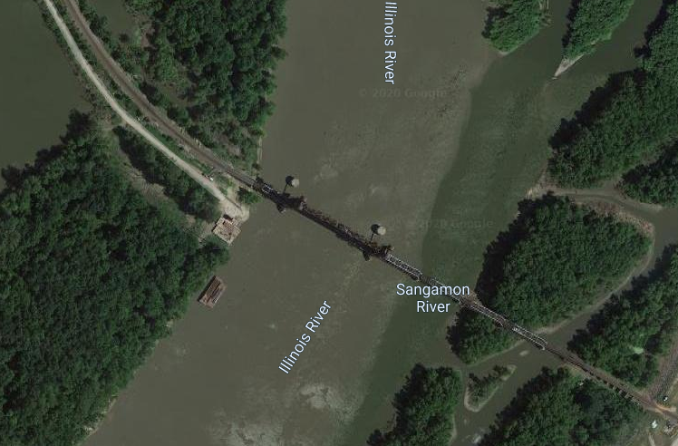
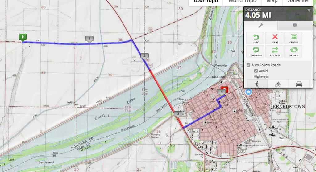
I’ve gotten behind a little bit, so I’m combining two 5K stages into one. My virtual route has taken me out of Beardstown and onto the incredibly flat floodplain of the Sangamon River, whose confluence with the Illinois is just above Beardstown. If you look on the very leftmost edge of the image below, you can see the tiny green curve of the route of the former bridge across the Illinois. I mentioned last time that Beardstown was founded as a ferry town; that was later replaced by a bridge, not the railroad bridge that still exists, but the toll bridge that used to lead right into downtown. The Illinois State Museum explains that when U.S. 67 was built around the town, there was no further need for the toll bridge, and it was dismantled.
Zooming in on the confluence, we see something that would interest my geomorphologist colleague Bruce Rhoads: Google Maps continues to label the Illinois and Sangamon Rivers separately because their waters clearly don’t mix right away.
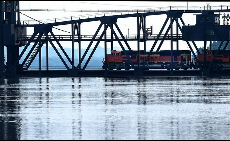
You can also see the railroad bridge crossing the Illinois. This river can get some very high floods, given the wide river valley and the occasionally intense spring and summer storms here and upstream. I found this picture from 2015 of flooding that nearly went up to the bottom of the bridge:
The old toll bridge fared worse in its day: here’s a photo from 1926 showing the entire downtown underwater. Levees now surround the town and kept it dry in 2015.
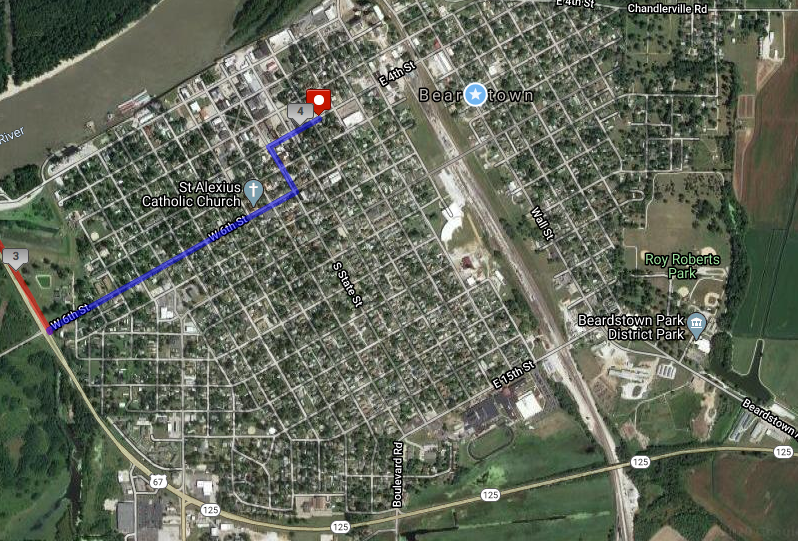
On this stage, my path crossed the Illinois River, putting me into my fourth county and into the largest settlement so far, and the oldest one I’ll encounter on the path: Beardstown.
Beardstown is old for an Illinois city, founded in 1826 by, you guessed it, Mr. Beard. Apparently this was a good place for a ferry crossing, though it’s hard to tell today with all of the modifications to the riverscape that have happened. The Illinois State Museum claims that Beardstown was known as Porkopolis because of its major industry, and it still has a pork processing plant on the outskirts of town. There was also the Beardstown Fish Company, and in the late 1800s, mussel and pearl fishing developed to feed nearby button factories.
Looking at Beardstown on a satellite image, the scar of the former railroad land is really remarkable. The topographic map up above shows multiple lines, but now there’s only the one. But the land is still vacant (probably still owned by the railroad), about a block wide running through town. Most notably, you can see the half-circle shape of a roundhouse still present, just about in the center of this image. If you look at the railroad crossing on 4th Street, there’s clearly the old train station that was recently a restaurant/bar.
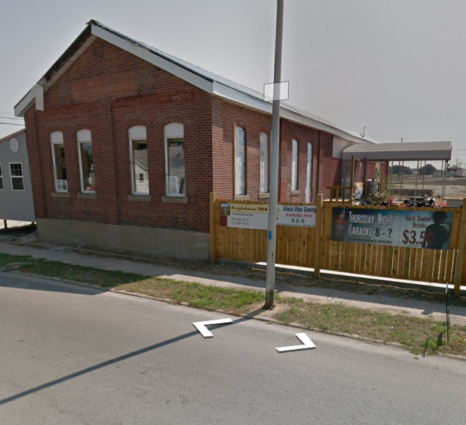
Freighthouse 704, which appears to have closed last fall.Now that’s a post office!
This stage might have involved the greatest elevation change of any stage of my virtual run across Illinois: a plunge of 150 feet down into the Illinois River Valley. The Illinois River valley is really wide–because it used to be the valley of the Mississippi River, until glaciers blocked the path near what is today Rock Island. In later geologic time, the glacial lake that extended beyond present-day Lake Michigan burst through its moraines and flooded this area, carving out the channel that exists today.
From a flat plateau, down the hill, to a flaaaaaat floodplain.
The floodplain of the Illinois River Valley is super flat, and it does tend to flood quite frequently. (More on this in the next stage.) As you can see from the creek/drainage ditch running north-south in the eastern third of the map, it’s also quite low-lying and swampy. Just northeast of here are some state parks and other protected areas around land that was too wet to drain for agriculture.
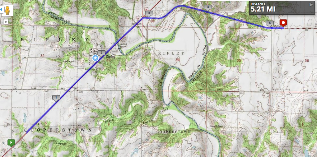
The terrain is starting to get more interesting as we head down into the Illinois River Valley. Today’s stage crossed the Le Moine River, marking the boundary between tiny Brown County (very tiny once you take out the prison population) and very small Schuyler County. Back in the day, it was all Schuyler County, but people living in the southern half found it too difficult to get across the Le Moine when the water was high, so they petitioned to form a separate county.
Illinois has way too many counties–102 in total–as part of more local government jurisdictions than any other state–over 7,000. There are over seventy counties in Illinois that are smaller in population than the smallest of Chicago’s wards. While many people would agree we should have fewer jurisdictions and possibly more efficient government in the process, no one wants their county to be the one that’s consolidated. /rant
Switching to the topographic map view on MapMyRun now that we’re in a part of the state with actual topography.
The little town of Ripley that the route passes by, now with about ninety residents, was once known as Jug Town between the 1850s and 1880s. There were eighteen different potteries in the area, using local clay to produce bricks, jugs, and the field tiles mentioned back in Timewell. The Le Moine River might have been a barrier to people trying to reach the county seat, but it was a highway for the potters of Ripley, who carried their goods on it down to the Illinois River, then the Mississippi and on to St. Louis. Eventually, producers who were closer to the river or on railroad tracks overtook Ripley, and there’s not much left.
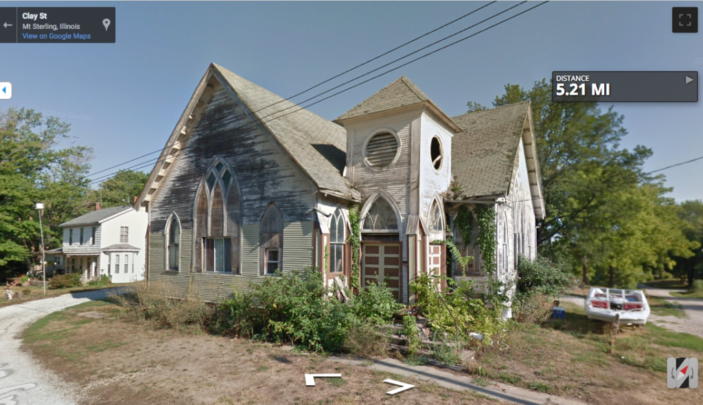
The Google Car did take a spin through Ripley, at least.
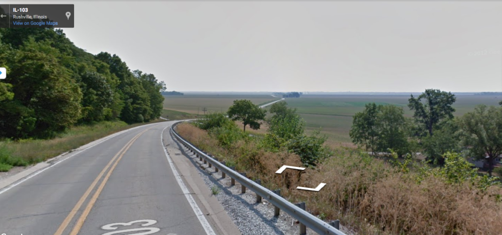
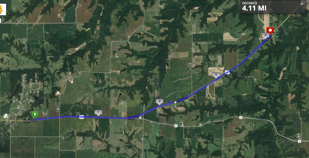
I didn’t get quite as far as I had intended this weekend, because summer has arrived and it’s both hot and humid. So today’s stage leaves Mt. Sterling and swings northeast, still on U.S. 24, headed for the Illinois River Valley.
The terrain is starting to change as the river gets closer, but the highway follows the flattest ground, so the view hasn’t changed all that much, except that now there are some trees in the distance: