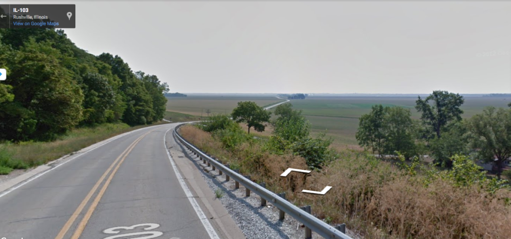
This stage might have involved the greatest elevation change of any stage of my virtual run across Illinois: a plunge of 150 feet down into the Illinois River Valley. The Illinois River valley is really wide–because it used to be the valley of the Mississippi River, until glaciers blocked the path near what is today Rock Island. In later geologic time, the glacial lake that extended beyond present-day Lake Michigan burst through its moraines and flooded this area, carving out the channel that exists today.
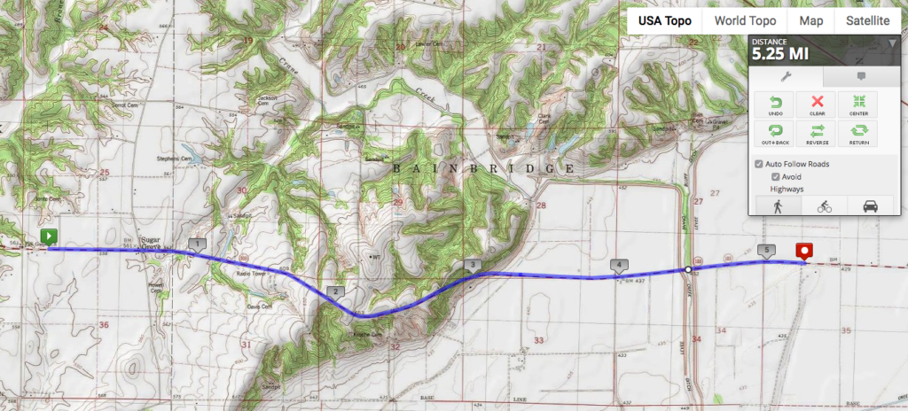
The floodplain of the Illinois River Valley is super flat, and it does tend to flood quite frequently. (More on this in the next stage.) As you can see from the creek/drainage ditch running north-south in the eastern third of the map, it’s also quite low-lying and swampy. Just northeast of here are some state parks and other protected areas around land that was too wet to drain for agriculture.