Combining stages again, one of 5K and one of 10K, since the scenery doesn’t change much along the way! These stages are along the very edge of the Sangamon River Valley, pretty clearly delineated in the terrain. Given the width of the floodplain, do you see anything…unusual about the Sangamon River?
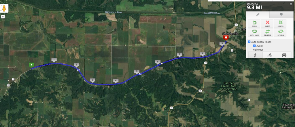
In a previous post, I talked about all of the drainage that had to be done to get this part of the state ready for agriculture, via tiles beneath the surface that direct water into ditches and rivers. As we can see from the Sangamon, even the rivers themselves were sometimes heavily modified to maximize the agricultural land available–and to make the rivers navigable. No other than Abe Lincoln (he had to appear at some point, this is central Illinois!) had a history of difficulties getting up and down the Sangamon from the state capital of Springfield to the Illinois River and parts south. In fact, he advocated channelizing the river to make it easier for boats to use (though that didn’t happen until 1949), and he even invented an inflatable device to help ships get unstuck from sand bars, based on his experience traveling on the Sangamon. More details can be found here.