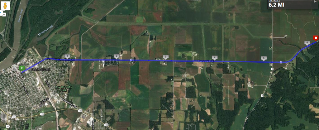
I’ve gotten behind a little bit, so I’m combining two 5K stages into one. My virtual route has taken me out of Beardstown and onto the incredibly flat floodplain of the Sangamon River, whose confluence with the Illinois is just above Beardstown. If you look on the very leftmost edge of the image below, you can see the tiny green curve of the route of the former bridge across the Illinois. I mentioned last time that Beardstown was founded as a ferry town; that was later replaced by a bridge, not the railroad bridge that still exists, but the toll bridge that used to lead right into downtown. The Illinois State Museum explains that when U.S. 67 was built around the town, there was no further need for the toll bridge, and it was dismantled.
Zooming in on the confluence, we see something that would interest my geomorphologist colleague Bruce Rhoads: Google Maps continues to label the Illinois and Sangamon Rivers separately because their waters clearly don’t mix right away.
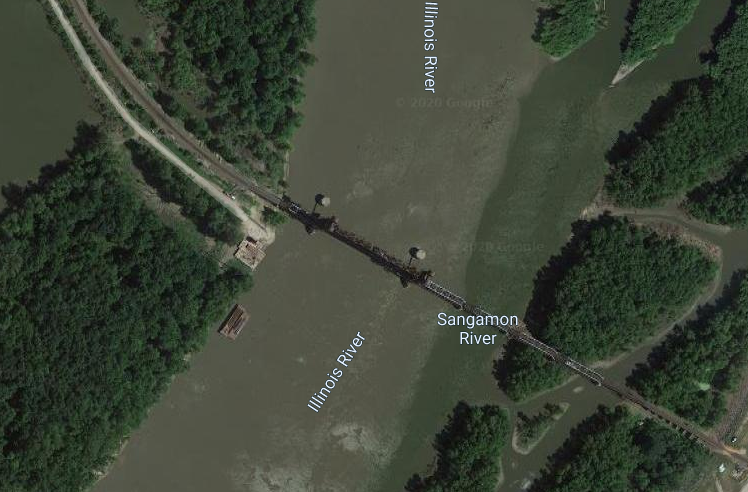
You can also see the railroad bridge crossing the Illinois. This river can get some very high floods, given the wide river valley and the occasionally intense spring and summer storms here and upstream. I found this picture from 2015 of flooding that nearly went up to the bottom of the bridge:
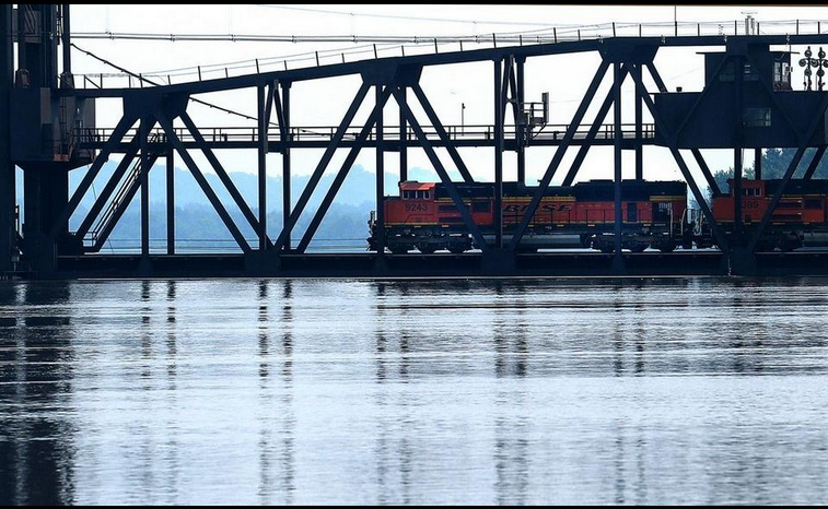
The old toll bridge fared worse in its day: here’s a photo from 1926 showing the entire downtown underwater. Levees now surround the town and kept it dry in 2015.
