VRAIL Stage 13

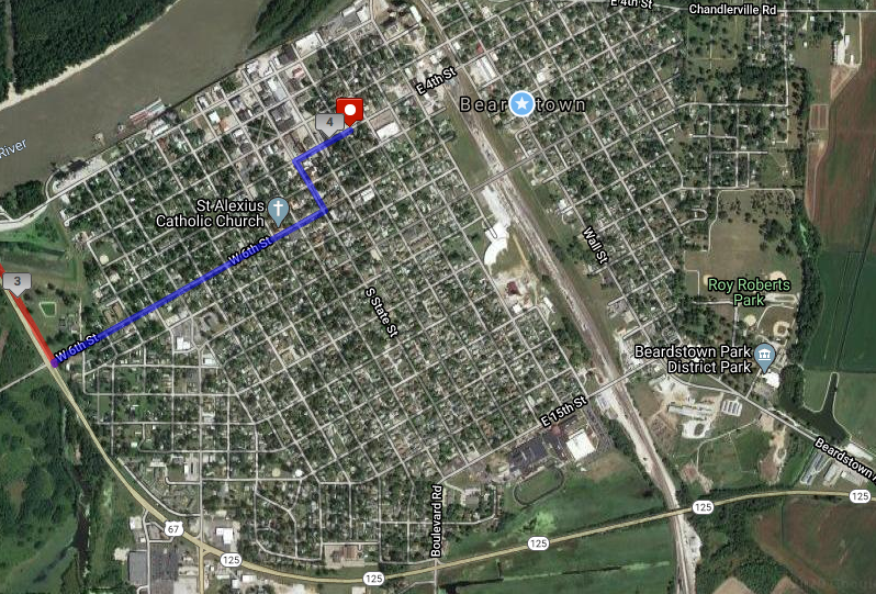
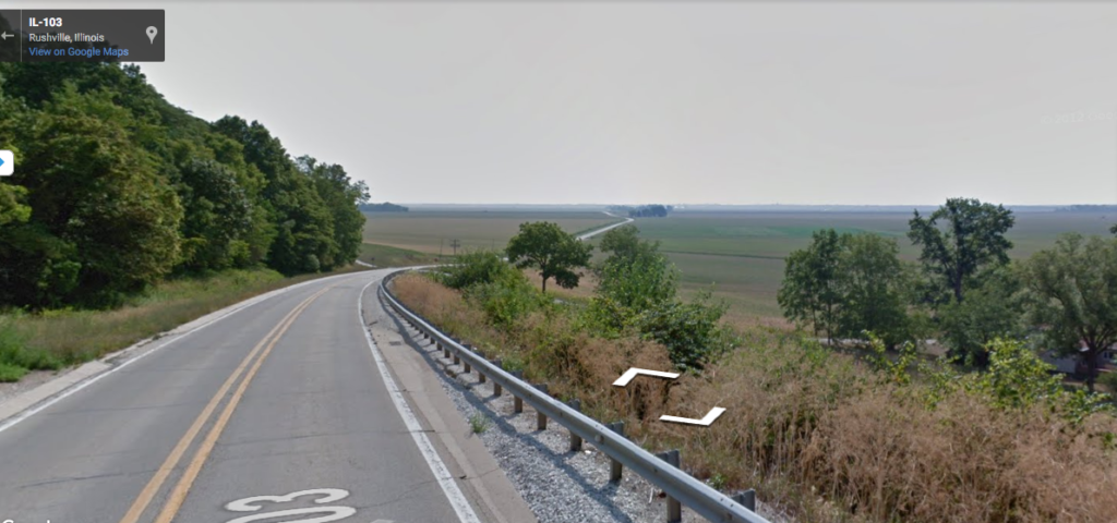
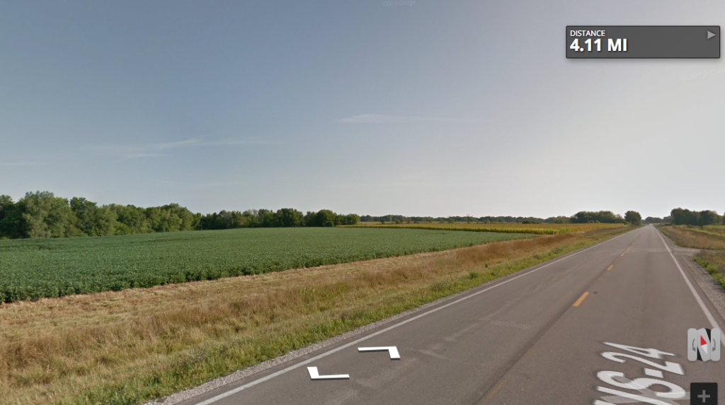
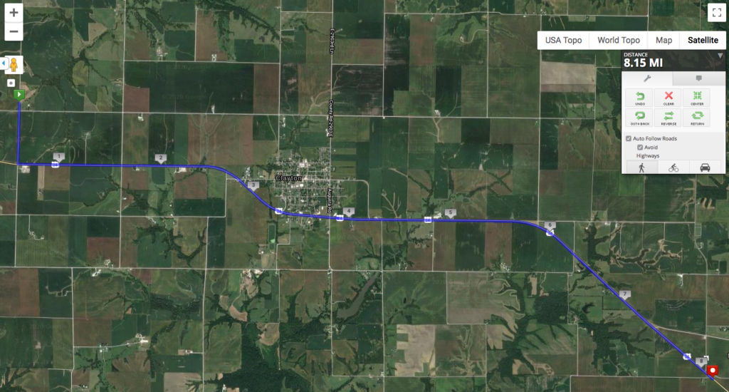
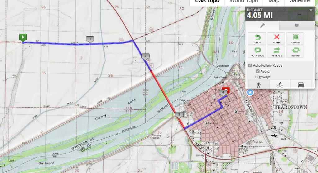
On this stage, my path crossed the Illinois River, putting me into my fourth county and into the largest settlement so far, and the oldest one I’ll encounter on the path: Beardstown.

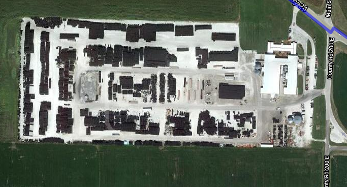
Beardstown is old for an Illinois city, founded in 1826 by, you guessed it, Mr. Beard. Apparently this was a good place for a ferry crossing, though it’s hard to tell today with all of the modifications to the riverscape that have happened. The Illinois State Museum claims that Beardstown was known as Porkopolis because of its major industry, and it still has a pork processing plant on the outskirts of town. There was also the Beardstown Fish Company, and in the late 1800s, mussel and pearl fishing developed to feed nearby button factories.

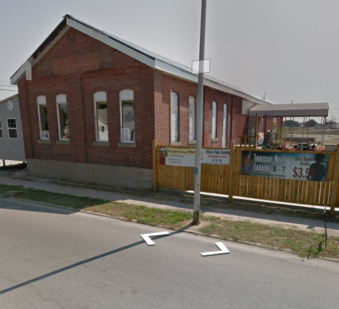
Looking at Beardstown on a satellite image, the scar of the former railroad land is really remarkable. The topographic map up above shows multiple lines, but now there’s only the one. But the land is still vacant (probably still owned by the railroad), about a block wide running through town. Most notably, you can see the half-circle shape of a roundhouse still present, just about in the center of this image. If you look at the railroad crossing on 4th Street, there’s clearly the old train station that was recently a restaurant/bar.

Freighthouse 704, which appears to have closed last fall.
Now that’s a post office!

VRAIL stage 12

This stage might have involved the greatest elevation change of any stage of my virtual run across Illinois: a plunge of 150 feet down into the Illinois River Valley. The Illinois River valley is really wide–because it used to be the valley of the Mississippi River, until glaciers blocked the path near what is today Rock Island. In later geologic time, the glacial lake that extended beyond present-day Lake Michigan burst through its moraines and flooded this area, carving out the channel that exists today.

From a flat plateau, down the hill, to a flaaaaaat floodplain.

The floodplain of the Illinois River Valley is super flat, and it does tend to flood quite frequently. (More on this in the next stage.) As you can see from the creek/drainage ditch running north-south in the eastern third of the map, it’s also quite low-lying and swampy. Just northeast of here are some state parks and other protected areas around land that was too wet to drain for agriculture.

Wheeeeee…

VRAIL Stage 11

The terrain is starting to get more interesting as we head down into the Illinois River Valley. Today’s stage crossed the Le Moine River, marking the boundary between tiny Brown County (very tiny once you take out the prison population) and very small Schuyler County. Back in the day, it was all Schuyler County, but people living in the southern half found it too difficult to get across the Le Moine when the water was high, so they petitioned to form a separate county.

Illinois has way too many counties–102 in total–as part of more local government jurisdictions than any other state–over 7,000. There are over seventy counties in Illinois that are smaller in population than the smallest of Chicago’s wards. While many people would agree we should have fewer jurisdictions and possibly more efficient government in the process, no one wants their county to be the one that’s consolidated. /rant

Switching to the topographic map view on MapMyRun now that we’re in a part of the state with actual topography.

The little town of Ripley that the route passes by, now with about ninety residents, was once known as Jug Town between the 1850s and 1880s. There were eighteen different potteries in the area, using local clay to produce bricks, jugs, and the field tiles mentioned back in Timewell. The Le Moine River might have been a barrier to people trying to reach the county seat, but it was a highway for the potters of Ripley, who carried their goods on it down to the Illinois River, then the Mississippi and on to St. Louis. Eventually, producers who were closer to the river or on railroad tracks overtook Ripley, and there’s not much left.

The Google Car did take a spin through Ripley, at least.

VRAIL Stage 10

I didn’t get quite as far as I had intended this weekend, because summer has arrived and it’s both hot and humid. So today’s stage leaves Mt. Sterling and swings northeast, still on U.S. 24, headed for the Illinois River Valley.

The terrain is starting to change as the river gets closer, but the highway follows the flattest ground, so the view hasn’t changed all that much, except that now there are some trees in the distance:

VRAIL Stage 8

Today’s stage began on the edge of Mounds Station, also known as Timewell (there was already a Mounds, IL, when it came time to establish the post office). Timewell is even smaller than Clayton, but it does have a post office!

Note the black-and-white rectangle in the lower left-hand corner. If you zoom in on it, you see this:

Google Maps told me this was Timewell Drainage Systems, which means those black objects are drainage tiles and pipes. I mentioned a few posts ago that this is a swampy part of Illinois. Much of Illinois, in fact, is fairly poorly drained, a legacy of the glaciers that also flattened out the landscape so well. Poor drainage means that when it rains, water just sits in the fields, or that the land is wet enough that it’s difficult to plant anything. So farmers dig up the soil and put these tiles and pipes in the ground to channel water into ditches and streams, leaving the ground dry for planting. This has been done so extensively throughout Illinois that I know a geologist who is trying to reconstruct the actual post-glacial drainage patterns of the state, because the current drainage pattern is so heavily artificial. Timewell Drainage Systems is based on Brown County, but they also manufacture and sell tiles from Iowa to Alabama.

Bonus pic from StreetView: the Timewell Post Office. My dad was a mailman before retirement, and he likes to see different post offices in the places he visits. So I think I’ll throw those in when I can along the way.

VRAIL Stage 7

Rain and storms all weekend meant I didn’t get to my weekly long run until Monday. Fortunately, the semester has ended, so my calendar is relatively open, so I could go today. In my virtual run, I finally left Adams County! Am now in Brown County, just by the little town of Mounds Station, AKA Timewell (more on that in the next stage).

On the way, my route went through Clayton, IL. It makes me sad to see that Clayton no longer has a post office. Residents have to go four miles to Golden, Timewell, or Camp Point to mail a letter. The first two of those are actually smaller than Clayton, so clearly the algorithm of closing rural Post Offices is more complex than just population.

VRAIL Stage 6

I didn’t get quite far enough with this run to get to my next point of interest, but that’s the one I’m going to talk about anyway. (The Illinois River is coming up, so that’s the reason for the southward turn.) U.S. 24 originally ran from Kansas City, MO, to Pontiac, MI, though it now extends westward as far as central Colorado. In Illinois, it connects Quincy and Peoria along what used to be the stagecoach route between the two cities before heading straight east into Indiana.

VRAIL Stage 5

I’ve been dealing with this ongoing pain/soreness in my IT band/knee/calf since November, and it’s finally motivating me to do some strength work so I’m not putting so much stress on my lower legs when I run. Runner’s World has this great 30-day cross-training challenge going on, so in addition to virtually running across Illinois, I’m also doing different kinds of runs plus some strength work.

Today was a “hill run,” which in my part of Illinois, is very difficult. Like, I have to run two miles to get to something approximating a hill, and then it’s a good thing that this particular workout considers only 30 seconds of running uphill to be one rep, because that’s all the hill there is. This is how I traveled today’s stage, ending in the town of Golden.

Golden is distinctive to me for two reasons: I crossed the BNSF/Amtrak tracks leading from Chicago to Quincy, the first major railroad crossing of the trip, and I ended my virtual run in front of this beauty:

The Prairie Mill in Golden, Illinois

According to goldenwindmill.org, this is “the only restored, US-built windmill operating with its original millstones and wood gear mechanism.” It’s also one of only two downstate Dutch windmills (now I have to go find where the other one is), and it has a sister windmill built by the same person in Felde, Germany. Many of the immigrants to this area were from Ostfriesland, the northwestern corner of Germany, and they knew how to drain the swampy land of this area that other white settlers had passed on. The mill didn’t mill anything after 1930, but in the 1990s it was restored, and today there’s a museum and gift shop on the ground floor.

VRAIL Stage 4

Today’s run was long and difficult, thanks to the 25 mph headwinds I faced on the Kickapoo River Trail. Pretending I was in western Illinois didn’t necessarily help, since that’s also flat and windy without much to look at (sample view below):

South of this route, just visible at the edge of the map, is today’s point of interest: Coatsburg, IL. This is the birthplace of William S. Gray, who was one of the authors and editors of the Dick and Jane series of readers. He went to Illinois State, University of Chicago, and Columbia, and was one of the world’s leading scholars on how children learn to read. His big innovation was to use lots of pictures and few words in children’s books, rather than trying to teach them from complex readings like the Bible. The U of C alumni magazine also notes that in the year he graduated with his PhD, he was named Assistant Dean of the College of Education!

VRAIL Stage 3

Today I ran 4.65 miles to reach a specific spot on my virtual trip across Illinois: the Quincy & Warsaw Railroad. Or at least, the trace of it you can see in the landscape, since it’s been abandoned for years. Note the diagonal line on the eastern edge of the map. If you zoom in on Mendon, the town at the southern edge of the image, you’ll see that even though the railroad itself is long gone, Railroad Street remains, as does its trace through the town and the fields.

I really couldn’t find much about the Quincy & Warsaw Railroad online (Warsaw is another river town to the north; apparently the best way to connect them by rail was to avoid the floodplain and move inland). But I did find a story about Mendon that made me think of current events, as well as my other hobby. A resident recently found a pile of her mother’s autographed quilt blocks and figured out they were from the winter when she had scarlet fever and the whole family was quarantined for half the school year. Friends and teachers signed the blocks for her, but it wasn’t until her daughters found them in the 2010s that they made them into a finished quilt.

I couldn’t find a picture of the quilt (which apparently lives at the Adams County Fairgrounds), but this is what a classic signature quilt looks like (photo from the International Quilt Museum):

http://worldquilts.quiltstudy.org/americanstory/sites/default/files/1997_007_0738.jpg