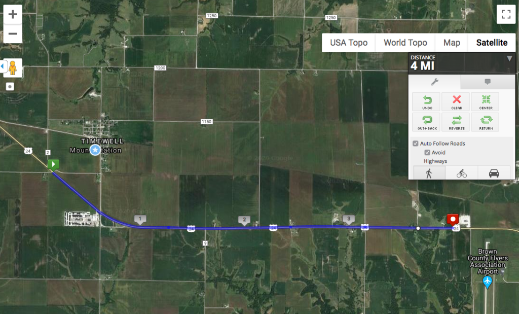
Today’s stage began on the edge of Mounds Station, also known as Timewell (there was already a Mounds, IL, when it came time to establish the post office). Timewell is even smaller than Clayton, but it does have a post office!
Note the black-and-white rectangle in the lower left-hand corner. If you zoom in on it, you see this:
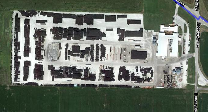
Google Maps told me this was Timewell Drainage Systems, which means those black objects are drainage tiles and pipes. I mentioned a few posts ago that this is a swampy part of Illinois. Much of Illinois, in fact, is fairly poorly drained, a legacy of the glaciers that also flattened out the landscape so well. Poor drainage means that when it rains, water just sits in the fields, or that the land is wet enough that it’s difficult to plant anything. So farmers dig up the soil and put these tiles and pipes in the ground to channel water into ditches and streams, leaving the ground dry for planting. This has been done so extensively throughout Illinois that I know a geologist who is trying to reconstruct the actual post-glacial drainage patterns of the state, because the current drainage pattern is so heavily artificial. Timewell Drainage Systems is based on Brown County, but they also manufacture and sell tiles from Iowa to Alabama.
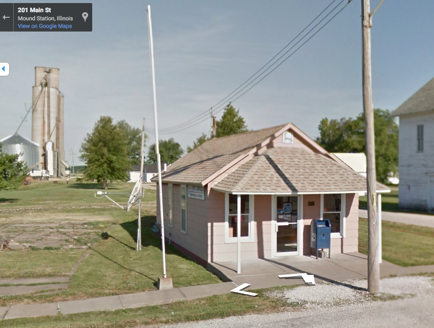
Bonus pic from StreetView: the Timewell Post Office. My dad was a mailman before retirement, and he likes to see different post offices in the places he visits. So I think I’ll throw those in when I can along the way.