VRAIL Stage 9

This stage brought me through a county seat, and the biggest settlement so far, 50 miles across the state. Mt. Sterling is the county seat of Brown County, complete with its classic courthouse, classic post office and the oldest county fair in the state.

The courthouse was built in 1868 but mostly destroyed by a fire in 1939. The portico and front columns survived the fire, which is why they’re just sitting out there without serving a structural purpose.

Mt. Sterling is also the home to one of the largest food distribution companies in the U.S. If you’ve ever seen one of these trucks with the blue DOT logo, it came from Brown County. DOT is the 65th largest company in the U.S. according to Forbes, based in a town of 2,500 people.

Photo by Dwight Burdette, from Wikipedia

VRAIL Stage 8

Today’s stage began on the edge of Mounds Station, also known as Timewell (there was already a Mounds, IL, when it came time to establish the post office). Timewell is even smaller than Clayton, but it does have a post office!

Note the black-and-white rectangle in the lower left-hand corner. If you zoom in on it, you see this:

Google Maps told me this was Timewell Drainage Systems, which means those black objects are drainage tiles and pipes. I mentioned a few posts ago that this is a swampy part of Illinois. Much of Illinois, in fact, is fairly poorly drained, a legacy of the glaciers that also flattened out the landscape so well. Poor drainage means that when it rains, water just sits in the fields, or that the land is wet enough that it’s difficult to plant anything. So farmers dig up the soil and put these tiles and pipes in the ground to channel water into ditches and streams, leaving the ground dry for planting. This has been done so extensively throughout Illinois that I know a geologist who is trying to reconstruct the actual post-glacial drainage patterns of the state, because the current drainage pattern is so heavily artificial. Timewell Drainage Systems is based on Brown County, but they also manufacture and sell tiles from Iowa to Alabama.

Bonus pic from StreetView: the Timewell Post Office. My dad was a mailman before retirement, and he likes to see different post offices in the places he visits. So I think I’ll throw those in when I can along the way.

VRAIL Stage 7

Rain and storms all weekend meant I didn’t get to my weekly long run until Monday. Fortunately, the semester has ended, so my calendar is relatively open, so I could go today. In my virtual run, I finally left Adams County! Am now in Brown County, just by the little town of Mounds Station, AKA Timewell (more on that in the next stage).

On the way, my route went through Clayton, IL. It makes me sad to see that Clayton no longer has a post office. Residents have to go four miles to Golden, Timewell, or Camp Point to mail a letter. The first two of those are actually smaller than Clayton, so clearly the algorithm of closing rural Post Offices is more complex than just population.

VRAIL Stage 6

I didn’t get quite far enough with this run to get to my next point of interest, but that’s the one I’m going to talk about anyway. (The Illinois River is coming up, so that’s the reason for the southward turn.) U.S. 24 originally ran from Kansas City, MO, to Pontiac, MI, though it now extends westward as far as central Colorado. In Illinois, it connects Quincy and Peoria along what used to be the stagecoach route between the two cities before heading straight east into Indiana.

VRAIL Stage 5

I’ve been dealing with this ongoing pain/soreness in my IT band/knee/calf since November, and it’s finally motivating me to do some strength work so I’m not putting so much stress on my lower legs when I run. Runner’s World has this great 30-day cross-training challenge going on, so in addition to virtually running across Illinois, I’m also doing different kinds of runs plus some strength work.

Today was a “hill run,” which in my part of Illinois, is very difficult. Like, I have to run two miles to get to something approximating a hill, and then it’s a good thing that this particular workout considers only 30 seconds of running uphill to be one rep, because that’s all the hill there is. This is how I traveled today’s stage, ending in the town of Golden.

Golden is distinctive to me for two reasons: I crossed the BNSF/Amtrak tracks leading from Chicago to Quincy, the first major railroad crossing of the trip, and I ended my virtual run in front of this beauty:

The Prairie Mill in Golden, Illinois

According to goldenwindmill.org, this is “the only restored, US-built windmill operating with its original millstones and wood gear mechanism.” It’s also one of only two downstate Dutch windmills (now I have to go find where the other one is), and it has a sister windmill built by the same person in Felde, Germany. Many of the immigrants to this area were from Ostfriesland, the northwestern corner of Germany, and they knew how to drain the swampy land of this area that other white settlers had passed on. The mill didn’t mill anything after 1930, but in the 1990s it was restored, and today there’s a museum and gift shop on the ground floor.

VRAIL Stage 4

Today’s run was long and difficult, thanks to the 25 mph headwinds I faced on the Kickapoo River Trail. Pretending I was in western Illinois didn’t necessarily help, since that’s also flat and windy without much to look at (sample view below):

South of this route, just visible at the edge of the map, is today’s point of interest: Coatsburg, IL. This is the birthplace of William S. Gray, who was one of the authors and editors of the Dick and Jane series of readers. He went to Illinois State, University of Chicago, and Columbia, and was one of the world’s leading scholars on how children learn to read. His big innovation was to use lots of pictures and few words in children’s books, rather than trying to teach them from complex readings like the Bible. The U of C alumni magazine also notes that in the year he graduated with his PhD, he was named Assistant Dean of the College of Education!

VRAIL Stage 3

Today I ran 4.65 miles to reach a specific spot on my virtual trip across Illinois: the Quincy & Warsaw Railroad. Or at least, the trace of it you can see in the landscape, since it’s been abandoned for years. Note the diagonal line on the eastern edge of the map. If you zoom in on Mendon, the town at the southern edge of the image, you’ll see that even though the railroad itself is long gone, Railroad Street remains, as does its trace through the town and the fields.

I really couldn’t find much about the Quincy & Warsaw Railroad online (Warsaw is another river town to the north; apparently the best way to connect them by rail was to avoid the floodplain and move inland). But I did find a story about Mendon that made me think of current events, as well as my other hobby. A resident recently found a pile of her mother’s autographed quilt blocks and figured out they were from the winter when she had scarlet fever and the whole family was quarantined for half the school year. Friends and teachers signed the blocks for her, but it wasn’t until her daughters found them in the 2010s that they made them into a finished quilt.

I couldn’t find a picture of the quilt (which apparently lives at the Adams County Fairgrounds), but this is what a classic signature quilt looks like (photo from the International Quilt Museum):

http://worldquilts.quiltstudy.org/americanstory/sites/default/files/1997_007_0738.jpg

VRAIL, Stage 2

Today was the second stage of my virtual run across Illinois, going through the tiny town of Marcelline and ending at the intersection of 2450th Ave. and 875th St. (measured from Quincy, the largest city in the county). The route crossed Range Line St., which is a nice trace of geography on the landscape from the township and range system. I get a kick out of the fact that Bear Creek is the water body you can see snaking through this image, and the township is called Ursa.

Here’s the climb out of the Mississippi River Valley. Not exactly a bluff, but there’s definitely a difference in the landscape.

Virtual Run across Illinois (VRAIL) 2020

Among the many things I’m missing right now are a) travel and b) road races. I have a hard time keeping up regular running when I don’t have a half marathon I’m aiming for. So, inspired by The Great Virtual Race Across Tennessee, I’m going to run across Illinois this summer. Virtually.

It turns out if you go straight west from where I live, you pretty much hit the westernmost point in the state. And end-to-end, mapped out as a running route, Illinois is about 228 miles wide. Pretty sure I can pull that off between May 1 and August 31. Along the way, I suspect I’ll learn some things about my state!

Stage 1: 6.51 miles (May 3)

The journey begins in Adams County (first in alphabetical order, how about that?) and the little town of Meyer. According to Wikipedia, Meyer currently has 9 residents. The rest have left over the years due to major flooding from the Mississippi River, the most recent being just last year. The aerial above shows traces of that flooding on the flat-as-a-table land to the east of the river. StreetView from August 2019 shows that some houses in Meyer have been raised up Gulf Coast-style in anticipation of future flooding:

Meyer used to have a ferry connecting it to the much larger town of Canton, MO, but it ended service in 2014 when the repairs to the ferryboat were too much for the grain co-op that ran it. I can’t imagine taking a little two-car ferry across the Mississippi, but it’s a hundred-mile drive otherwise.

Today’s stage basically ends at the edge of the floodplain, so the next several stages will have something I’m not used to in Illinois: hills!

Seeing absence

One of the ways that newspapers have been demonstrating the abrupt change in daily life in the time of coronavirus is by publishing above-the-fold photos of empty or near-empty transportation infrastructure. First were images from China showing wide boulevards and highways with a single pedestrian or cyclist (e.g., Ettinger 2020). This same article from mid-March showed airports, train stations, streets, and even the canals of Venice almost entirely devoid of people. Subsequent photos from New York, London, and Kiev showed nearly-empty subway stations and trains. Our absent presence as commuters and travelers becomes very visible through these media accounts.

In the U.S., the Seattle Times led the trend with an “eerie” image of Interstate 90 with a handful of cars at rush hour (Gutman 2020). The Los Angeles Times on the same day also used the word “eerie” to describe the free-flowing traffic on the freeways through downtown (Nelson 2020), as have many other news outlets. Later, drone images in the Boston Globe, like those from Milan and Wuhan, showed empty highways from a greater distance, with the multi-minute video emphasizing this was not a lucky shot by the photographer, but an ongoing absence.

In many of these photos, the captions emphasize “nearly-empty” or “almost-deserted” transportation infrastructure. Often, there is a single person on foot or on a bicycle traversing a street that is usually full of cars, or a lone person on a subway platform that is usually jam-packed. Presumably, the photographer would only have had to wait a few minutes for that person to pass in order to have a shot with no people at all. But the visual impact of that lone figure is striking. On the one hand, it calls to mind post-apocalyptic films and TV shows, where one of the first visual indicators we usually have of how bad things have gotten is our hero(es) walking along a highway littered with abandoned cars. The news photos draw on our familiarity with that unsettling image to quickly get the message across of how dramatically life has changed.

At the same time, the lone figure on the multi-lane highway or in the metro station emphasizes that life is going on. It might be a worker who has no choice but to physically go to work; it might be someone defying authority; it might be someone going out for groceries. At any rate, it is a small reminder that we are not actually in a post-apocalyptic world: cars are still functioning, people are still going about some of their daily business, and the world will (presumably) resume its normal functioning in time.

Beyond infrastructure photos, there are other visual indicators of what’s missing from the streets: Twitter is full of screenshots of major metro areas in Google Maps with the traffic layer on, showing green roads in all directions during rush hour instead of the usual angry red segments. After about a week, images started to be shared of air quality monitors in L.A., showing the same bright green as on the traffic maps. Anonymized mobile phone 
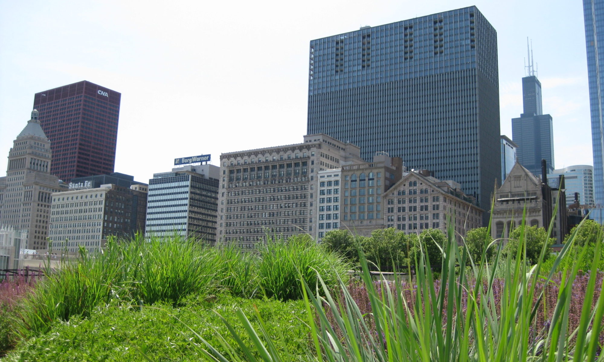
data from those vehicles still on the road showed that traffic speeds were 27% faster that normal in LA, 31% faster in Washington, DC, and 25% faster in Chicago in the first week after March 11 (Nelson 2020). CalTrans data on traffic speeds showed a gain of 100,000 hours that greater Los Angeles was not stuck in traffic on March 12 and 13 alone (ibid.).

Unlike most articles on the “eerie” highways, the L.A. Times piece noted the implications of this rare free flow: people aren’t going to work (Nelson 2020). In other words, what Anthony Downs said almost thirty years ago is still true: congestion is a good thing (Downs 1992). Downs was writing about the phenomenon of induced traffic, whereby building more roads and more lanes only produces more congestion in the long run. The only ways to really reduce congestion are to shift commuting patterns in space, in time, or by mode. Part of Downs’ argument, though, was that congestion is a positive indicator. It demonstrates that a metro area is lively and productive, that people are going to work, to recreation, and to shopping. If millions of people need to be in the same place at the same time, there’s going to be delay. Cities with perfectly free-flowing traffic all day long are unhealthy cities (Downs 1992).

So there’s a paradox here: we see our currently-empty roads and transit stations as “eerie,” maybe even threatening, but we also don’t like it when they’re full. How many reports are written, how much public money is spent, to reduce congestion in metro areas across the world? Now that we don’t have that congestion, its very absence serves as a stark reminder of how abnormal the world is at this moment. And since those of us working from home or otherwise self-isolating are not on the empty infrastructure ourselves, we are reliant on the images from news media and social media to show us that eeriness.

Most of us want to go back to normal—although the stress of commuting suggests that we don’t, not really (Bissell 2018). Is this a utopian moment for considering other ways of doing things? Perhaps—but that’s a subject for someone else to take up. In the meantime, many of us working from home look at the pictures of nearly-empty roads and metro stations and look forward to the day when we’ll be stuck in traffic once again.

Works Cited

Bissell, D. 2018. Transit Life: How Commuting Is Transforming Our Cities. Cambridge, MA: MIT Press.

Downs, A. 1992. Stuck in Traffic: Coping with Peak-Hour Traffic Congestion. Washington, DC: Brookings Institution Press.

Ettinger, Z. 2020. Eerie photos show empty airports, trains, and roads across the world as people stay home amid coronavirus. Business Insider, March 13, https://www.businessinsider.com/photos-empty-airports-trains-roads-during-coronavirus

Gutman, D. 2020. Seattle in the age of coronavirus: Not quite empty, but eerie. Seattle Times, March 15,

https://www.seattletimes.com/seattle-news/seattle-in-the-age-of-coronavirus-not-quite-empty-but-eerie/

Nelson, L. 2020. Eerily empty freeways: a symbol of how the coronavirus has hurt Los Angeles. Los Angeles Times, March 15,

https://www.latimes.com/california/story/2020-03-15/coronavirus-covid-19-traffic-commuting-los-angeles-405-freeway.