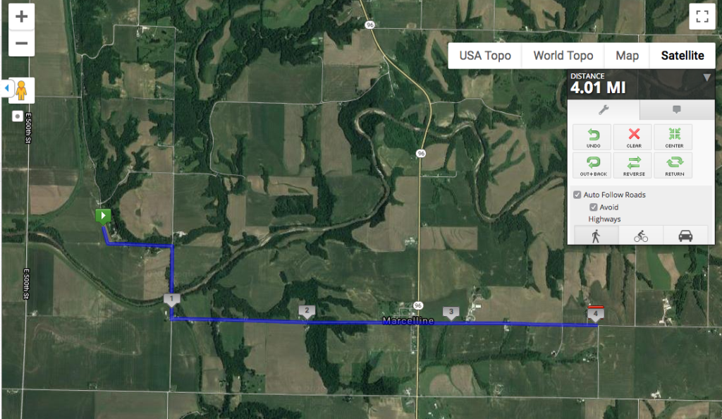
Today was the second stage of my virtual run across Illinois, going through the tiny town of Marcelline and ending at the intersection of 2450th Ave. and 875th St. (measured from Quincy, the largest city in the county). The route crossed Range Line St., which is a nice trace of geography on the landscape from the township and range system. I get a kick out of the fact that Bear Creek is the water body you can see snaking through this image, and the township is called Ursa.
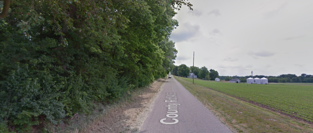
Here’s the climb out of the Mississippi River Valley. Not exactly a bluff, but there’s definitely a difference in the landscape.