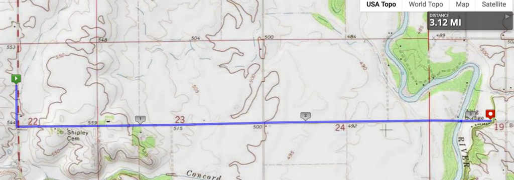
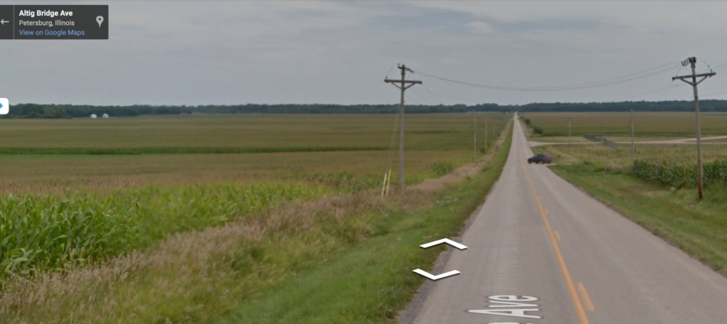
Whee, I get to run down a (virtual) hill! This stage descends into the Sangamon River valley (the river is where the trees are in the distance) and just across the river. That’s a total of, um, 50 feet downhill. Based on news accounts, there seems to be a day or two every spring when this road is closed for flooding.


I found some references to this area and the last several stages as belonging to the “Pecan Bottoms” area of central Illinois. We usually associate pecans with the southern U.S., but they’re native in Illinois and Indiana in river bottoms. In fact, the botanical name of the pecan is Carya illinoinensis! The growing season is fairly short, so they don’t get very large in this part of North American, which is why commercial pecan production takes place farther south.
