
Among the many things I’m missing right now are a) travel and b) road races. I have a hard time keeping up regular running when I don’t have a half marathon I’m aiming for. So, inspired by The Great Virtual Race Across Tennessee, I’m going to run across Illinois this summer. Virtually.
It turns out if you go straight west from where I live, you pretty much hit the westernmost point in the state. And end-to-end, mapped out as a running route, Illinois is about 228 miles wide. Pretty sure I can pull that off between May 1 and August 31. Along the way, I suspect I’ll learn some things about my state!
Stage 1: 6.51 miles (May 3)
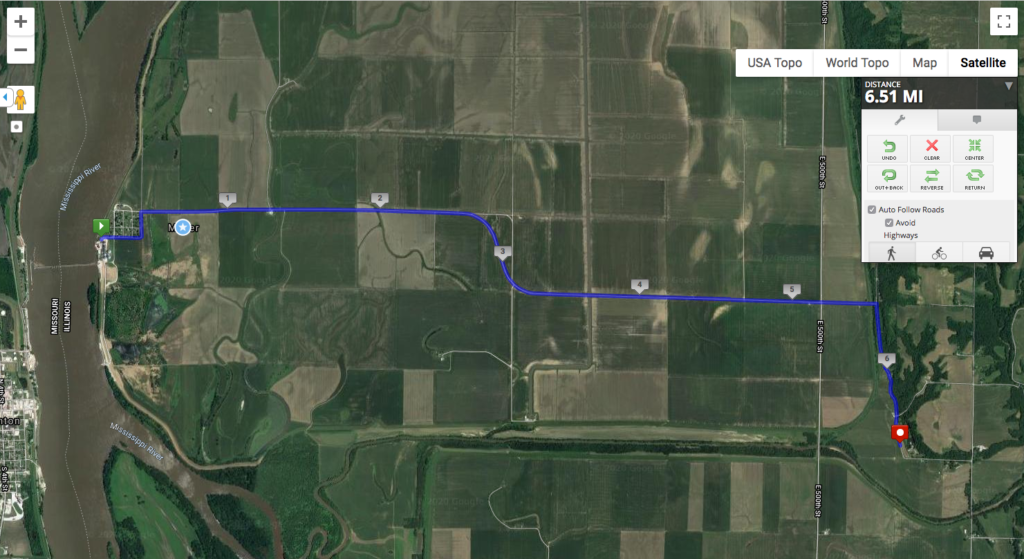
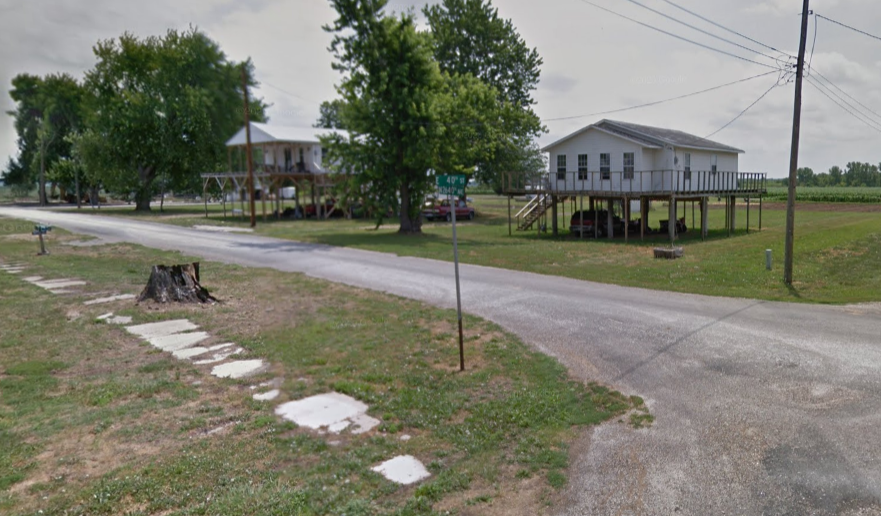
The journey begins in Adams County (first in alphabetical order, how about that?) and the little town of Meyer. According to Wikipedia, Meyer currently has 9 residents. The rest have left over the years due to major flooding from the Mississippi River, the most recent being just last year. The aerial above shows traces of that flooding on the flat-as-a-table land to the east of the river. StreetView from August 2019 shows that some houses in Meyer have been raised up Gulf Coast-style in anticipation of future flooding:
Meyer used to have a ferry connecting it to the much larger town of Canton, MO, but it ended service in 2014 when the repairs to the ferryboat were too much for the grain co-op that ran it. I can’t imagine taking a little two-car ferry across the Mississippi, but it’s a hundred-mile drive otherwise.
Today’s stage basically ends at the edge of the floodplain, so the next several stages will have something I’m not used to in Illinois: hills!